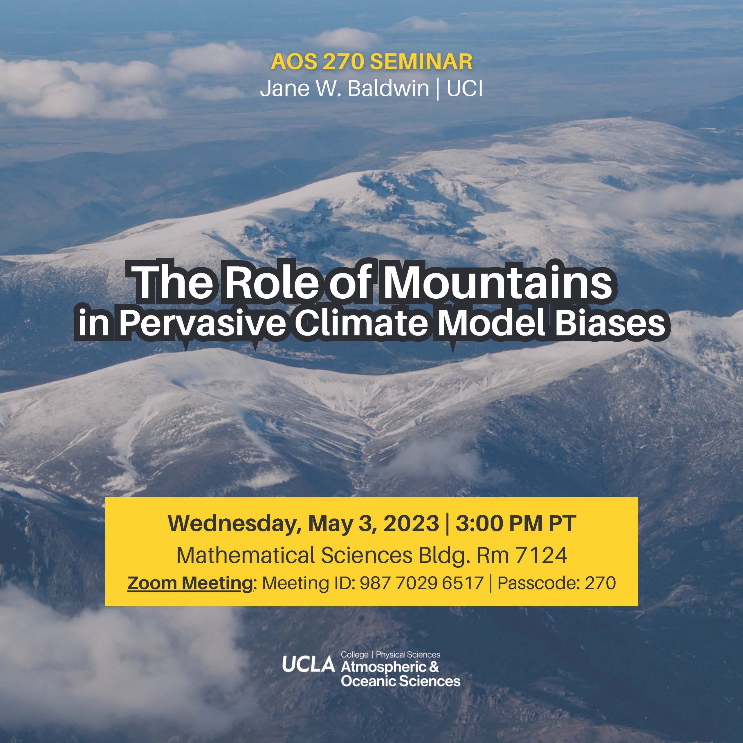
Abstract:
Global Climate Models (GCMs) exhibit biased simulations of circulation and rainfall in many parts of the world, reducing confidence in their projections of regional climate change. In this talk I will argue that the limited atmospheric/land spatial resolution of GCMs (typically 50-200 km), and related overly smooth topography, contributes to a number of persistent and pervasive regional biases. I will focus on two regions of interest: the eastern tropical Pacific and western North America. The Sierra Madre mountain range stretches north to south in Central America, blocking tropical winds that flow east to west between the Atlantic and the Pacific. Through a series of atmosphere-ocean coupled GCM simulations, I will demonstrate that better resolving the Sierra Madres' height improves long-standing GCM biases in tropical sea surface temperatures, precipitation, and variability (i.e. El Nino-Southern Oscillation). Next, I will use related simulations to demonstrate that biased representation of the Rocky Mountains' surface height, and resulting alteration of stationary wave patterns, causes GCM wet biases over the western USA. I will close by discussing ongoing work exploring transferability of these results across a range of GCMs, and possible implications for present, future, and paleo- climate model simulation.

